Sunny Mornings and Stormy Horizons: Miami’s Weather Forecast
By
Amy Freeze
Starting your day with sunshine in Miami? Find out what weather surprises the Southeast holds as storms brew over the horizon.
Tomorrow in Miami starts with clear skies and sunshine. However, a frontal system is set to bring thunderstorms and potential flash flooding across the Southeast. Stay prepared with the latest updates.
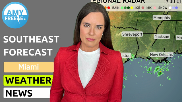
Welcome to your detailed weather forecast for Miami and the broader Southeast. Enjoy a sunny start in Miami with clear skies, but prepare as a frontal system is expected to stir up thunderstorms. This system may lead to localized heavy rainfall and flash flooding, particularly in southern Louisiana and Mississippi. We’ll track this active weather pattern as it moves, possibly affecting travel in Charleston and Savannah by evening. Stay informed and safe with our comprehensive updates and insights.
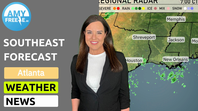
A line of light rain showers is moving northward across the Gulf of Mexico, nudging the southeastern tip of Louisiana and approaching New Orleans. The radar shows isolated rain showers near Jacksonville, Florida, drifting eastward toward the Atlantic. Meanwhile, most of the Southeast remains clear, with calm skies for Atlanta and Charlotte under a rain-free dome. Keep an eye out for changing conditions as this rain in the Gulf could track further inland as the day progresses.
Expect a rather warm morning in Miami, starting at 83 degrees at 8 AM and rising to 87 degrees by noon. Winds will be coming from the east-northeast at 9 to 13 miles per hour. Skies will be partly cloudy, providing some sunshine to mix in with the clouds.
Tomorrow in Charlotte, expect a sizzling high of 101 degrees, well above average for this time of year. Atlanta will be just shy of that with a high of 96 degrees, while Montgomery is anticipating a warm 97 degrees. In Jacksonville, temperatures will reach 94 degrees, and further south in Tampa, expect a high of 93 degrees. New Orleans will be on the cooler side at 89 degrees, thanks to some potential cloud cover.
A frontal system is positioned to bring active weather to the Southeast tomorrow. Anticipate scattered thunderstorms kicking off in the morning, progressing northward from New Orleans to Atlanta through the day. There’s a risk for localized heavy rainfall, which could lead to flash flooding in low-lying areas, especially across southern Louisiana and Mississippi. By evening, the system moves towards Charleston and Savannah, potentially causing travel disruptions. Temperatures will remain warm and humid ahead of the front, but expect a slight cool down following its passage.
The UV index in Miami on Monday is extremely high at 11, with a burn time as short as 11 minutes in direct sunlight; ensure you’re well-protected with sunscreen and hats. Tuesday remains concerning with a UV index of 10, making sun exposure risky with a burn time of just 12 minutes.
For the 7-day forecast in Miami:
Monday: Mostly clear skies with a high around 87 degrees and a low of 81 degrees.
Tuesday: Expect partly cloudy conditions, with the temperature reaching up to 87 degrees and dipping to 80 degrees at night.
Wednesday: Thunderstorms move in later in the day, with a high of 85 degrees and a low of 78 degrees.
Thursday: Partly cloudy, enjoying a warm day at 85 degrees and a nighttime low of 81 degrees.
Friday: Partly cloudy once again, with highs topping 87 degrees and lows around 81 degrees.
Saturday: Mostly cloudy with a high of 88 degrees, cooling to 80 degrees overnight.
Sunday: Partly cloudy to wrap up the week, temperatures reaching 87 degrees with a low of 80 degrees.