Week Ahead Weather Forecast: From Scorching Heat to Severe Storms in the Southern Plains
By
Amy Freeze
Get a sneak peek at the dynamic weather sweeping through the Southern Plains this week, with everything from record heat to imminent thunderstorms.
This week the Southern Plains are set for a weather rollercoaster! From Austin to Oklahoma City, brace for everything from sweltering heat to potentially severe thunderstorms. Stay updated and prepare accordingly!
As the week unfolds across the Southern Plains, residents can expect varying weather conditions starting with scorching temperatures and ending with potential severe weather outbreaks. From the intensity of El Paso’s heat to the storm threats looming over Oklahoma City, each day brings new challenges and changes. Stay tuned for daily specifics to help you plan and prepare effectively for each weather scenario. Check comprehensive forecasts, safety tips, and more on our dedicated weather blog at https://amyfreeze.ai/
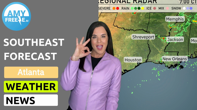
The Regional Radar reveals active weather across parts of the Southern Plains. Thunderstorms are intensifying near Corpus Christi, moving northeast. Isolated storm cells are developing around San Antonio, while light rain showers are also present just south of Dallas. Farther north, skies remain mostly clear from Oklahoma City to the Kansas City area.
For this evening in Austin, expect clear skies with temperatures decreasing from 88 degrees at 9 PM to 81 degrees by 1 AM. Winds will remain gentle, shifting slightly from south at 6 mph to south-southeast at 7 mph.
Tonight, Dallas will cool down to 76 degrees, while Midland sees a low of 75. San Antonio will also sit at 76 degrees, and El Paso will drop to 77. Expect Oklahoma City to hit a low of 72, and Little Rock will see temperatures fall to 75 degrees.
Tomorrow, El Paso will see scorching highs of 107 degrees, while Midland is not far behind at 105. San Antonio will reach 97, and Dallas is forecasted for a high of 95 degrees. In Oklahoma City, expect a high of 94 degrees, with Little Rock hitting 91.
A cold front is pushing through the Southern Plains tomorrow creating a dynamic day of weather. Expect rain stretching from Dallas to Corpus Christi, bringing welcomed precipitation. Oklahoma City is on alert for potential severe thunderstorms as the air mass becomes increasingly unstable. Areas including Little Rock and Jackson could also see stormy conditions. By evening, the front will advance toward New Orleans and Mobile, prompting a need for awareness of severe weather threats.
The UV index in Austin will be very high on Monday and Tuesday, reaching a level of 11, with a burn time of just 11 minutes in direct sunlight
For the 7-day forecast in Austin:
Monday: Mostly clear skies with a high temperature of 92 degrees and a low of 74 degrees.
Tuesday: Expect mostly clear conditions again with temperatures peaking at 94 degrees and dipping to 75 degrees overnight.
Wednesday: Another partly cloudy day with a high of 94 degrees and a low of 75 degrees.
Thursday: Continuing partly cloudy skies and temperatures reaching 93 degrees for the high and 74 degrees for the low.
Friday: Partly cloudy once more. Look for highs around 93 degrees and lows of 74 degrees.
Saturday: Showers come into the picture later with temperatures climbing to 91 degrees and falling to 75 degrees.
Sunday: Partly cloudy skies close out the week, with a daytime high of 90 degrees and a nighttime low of 75 degrees.