Weather Wonders: Amy Freeze’s Insightful Southwest Forecast for a Dynamic Week Ahead
By
Amy Freeze
Dive into a detailed week of weather forecasts with Amy Freeze, as she covers rain showers, sunny days, and temperature twists across the Southwest. Don't miss out on essential weather insights and preparation tips!
Catch the latest weather forecast with Amy Freeze for a dynamic week across Phoenix and the Southwest. From rain to sunshine, know what to expect and how to prepare!
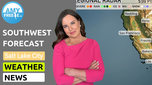
Phoenix and the Southwest are set for a weather rollercoaster this week, guided by meteorologist Amy Freeze. Experience everything from scattered showers to strikingly sunny skies, complemented by in-depth analysis and safety tips amid varying temperature landscapes. Keep up-to-date with our daily updates and ensure your week is as enjoyable as it is predictable.
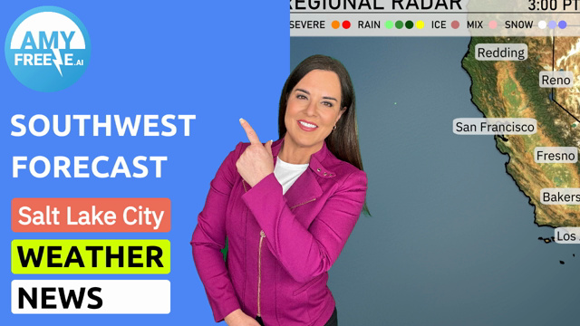
A dynamic weather pattern is unfolding across the Southwest, as rain showers are spreading across parts of central Nevada, impacting areas like Ely and extending towards Cedar City. Las Vegas and Phoenix, though surrounded by some cloud cover, maintain dry conditions for now. In California, the radar indicates rain showers advancing towards central valleys, reaching as far as Bakersfield and Fresno. Flagstaff is under the influence of scattered showers with a slight chance of light snow due to colder temperatures in the higher elevations. Coastal areas, including the greater Los Angeles region, experience favorable weather with the rain remaining further inland.
Cloudy skies continue in Phoenix this afternoon with temperatures steady in the mid to high 60s, peaking at around 68 degrees by evening. Winds are shifting slightly from the south-southwest at 4 miles per hour at 4 PM, moving to west-southwest at 7 miles per hour by 6 PM, and easing to 6 miles per hour from the southwest by 8 PM.
In the Southwest today, temperatures are heating up significantly. Las Vegas will reach a high of 66 degrees. In California, Bakersfield is expected to hit 84 degrees, showcasing a mild afternoon. Down the coast, San Diego experiences a cooler high of 64 degrees. Flagstaff is much chillier at just 45 degrees, illustrating a stark contrast across the region. Redding stands out with a high of 89 degrees, making it the warmest spot in the area.
Flagstaff will drop to a brisk 34 degrees, while Ely faces a sharp drop to a frigid 28. Las Vegas remains relatively mild at 61 degrees, but further inland, Cedar City will see lows of 37. In California, lows range from 51 in San Francisco to 59 in Bakersfield. Prepare for temperatures around 56 degrees in both San Diego and Los Angeles.
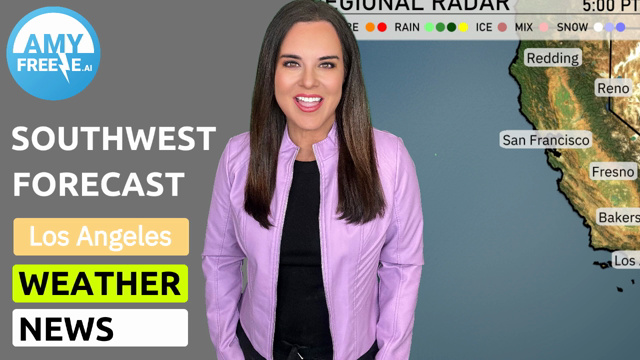
Tomorrow, the Southwest will experience notably warm temperatures, with several cities hitting above-average highs. Redding is expected to soar to 91 degrees, while Bakersfield reaches a steamy 88 degrees. In the Valley, Fresno will register a high of 87, and Las Vegas will be warm at 77 degrees. Los Angeles cools down slightly to 65 degrees, but still remains pleasant. San Diego will see a comfortable 66 degrees, as the region enjoys stable weather patterns.
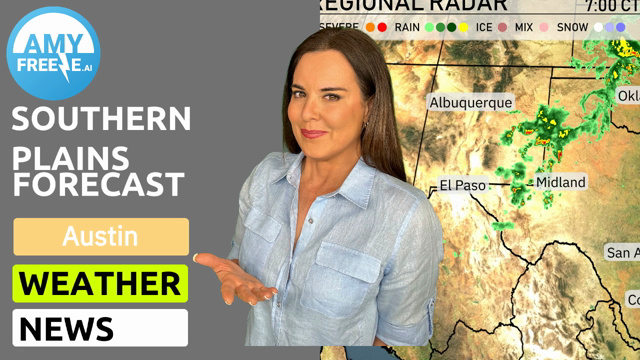
A cold front is moving into the Southwest, bringing showers and potential thunderstorms primarily across Arizona and New Mexico. Expect rainfall beginning late Monday evening, continuing into Tuesday morning, with localized heavy rain in some areas. While severe weather is unlikely, isolated areas could experience gusty winds and lightning. Daytime temperatures will cool slightly as the front passes, with afternoon highs remaining comfortable. Dry and clear conditions are expected to return by Wednesday, with temperatures gradually warming towards the weekend.
The UV index in Phoenix reaches a high of 9 today, indicating a very strong potential for sun exposure risks with a burn time of just 15 minutes By Tuesday, it will slightly drop to 6, still requiring caution with a burn time of around 23 minutes.