Navigating the Skies: Austin’s Weather Outlook by Amy Freeze
By
Amy Freeze
Dive into the latest weather trends in Austin with Amy Freeze's detailed forecast. From sunny days to stormy evenings, know what to expect and how to prepare.
Get the latest weather updates and tips for Austin from meteorologist Amy Freeze. From temperature trends to severe weather alerts, here’s all you need to know!
Meteorologist Amy Freeze brings you an in-depth look at this week’s weather conditions for Austin and the Southern Plains. Expect a mix of partly cloudy skies, rising temperatures, and potential severe weather. Stay safe with the latest forecasts and read our safety tips for high UV index days. Visit our blog for more detailed weather insights and updates throughout the week.
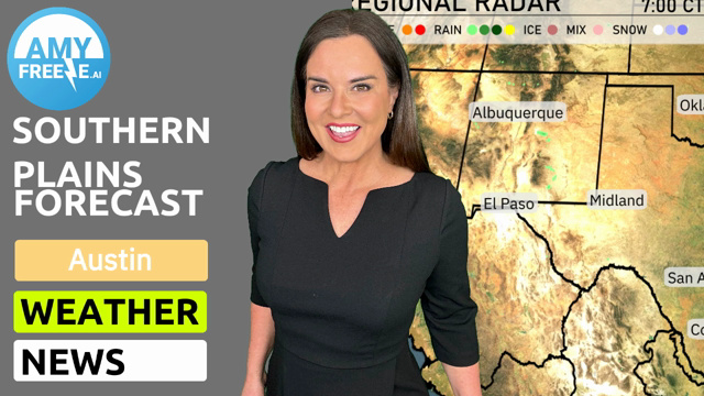
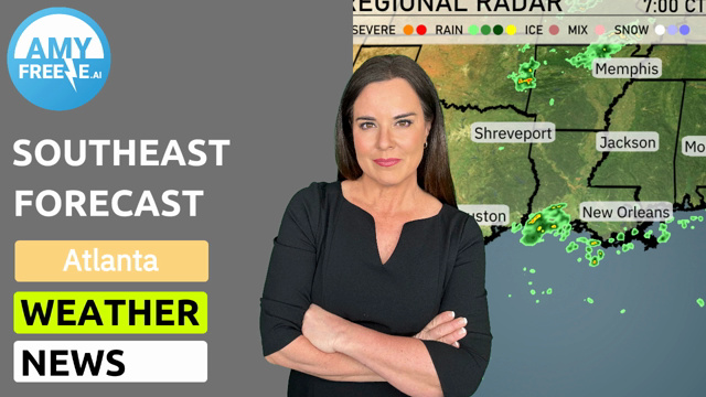
A line of rain appears to be stretching through northern Texas, reaching towards Oklahoma City. Albuquerque is experiencing some light rain showers, and a few rain pockets are developing around Midland. Meanwhile, Little Rock is currently seeing rain, which is traveling eastward towards Jackson. Clear conditions dominate New Orleans and Dallas, allowing for a brief reprieve from precipitation.
Tomorrow morning in Austin, expect cloudy conditions with temperatures starting at 72 degrees at 8 AM, holding steady through 10 AM. The wind will be from the southeast at 6 to 8 miles per hour. By noon, temperatures will rise slightly to 75 degrees with winds shifting to a south-southeast direction at 10 miles per hour.
High temperatures in the Southern Plains are expected to be quite warm tomorrow. In San Antonio, the thermometer is set to reach a warm 83 degrees, while Corpus Christi will see highs around 84 degrees. Midland is also warm with a high of 75 degrees, and Dallas is forecasted for a milder 76 degrees. El Paso is slightly cooler at 69 degrees, reflecting a below-average trend for that area.
A cold front sweeping across the Southern Plains will bring potentially severe weather to areas from Oklahoma City to Dallas over the next 24 hours. Expect scattered strong storms with hail and gusty winds, particularly in the afternoon and evening. Rain will extend from Midland to Corpus Christi, beneficial for easing dry conditions. Behind the front, temperatures will drop slightly, but skies should clear by late Thursday.
The UV index in Austin on Friday is 10, indicating very high sun exposure risks, with a burn time of just 12 minutes. Make sure to wear broad-spectrum sunscreen, protective clothing, and sunglasses if heading outdoors. Looking ahead to Saturday, the index drops to 4.
For the 7-day forecast in Austin:
Saturday: Cloudy skies with temperatures reaching a high of 83 degrees and a low of 66 degrees.
Sunday: Continue to see the clouds with a high of 79 degrees and a low of 56 degrees.
Monday: Partly cloudy conditions bring a rise in temperature, with a high of 86 degrees and a low of 62 degrees.
Tuesday: Enjoy mostly clear skies, as temperatures peak at 87 degrees and drop to 66 degrees overnight.
Wednesday: Thunderstorms roll in with the daytime high reaching 80 degrees, cooling down to 68 degrees at night.
Thursday: Scattered thunderstorms are expected, with temperatures climbing to 80 degrees and a low of 68 degrees.
Friday: Scattered thunderstorms persist, with a high of 86 degrees and a low of 70 degrees.
Stay safe and have a great week!