Dive into an in-depth analysis of the fluctuating weather conditions sweeping through Chicago and the broader Midwest. From sunny days to stormy nights, here's what you need to know!
Check out our latest blog post where Amy Freeze breaks down the upcoming weather for Chicago and the Midwest. Find out what to expect from temperature shifts, storm alerts, and more!
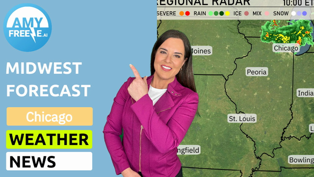
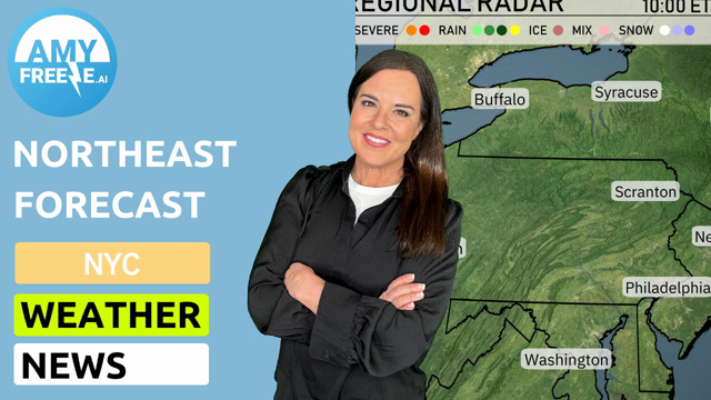
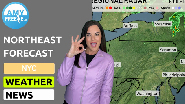
Welcome to your comprehensive look at the upcoming week’s weather in the Midwest with Meteorologist Amy Freeze. This week, Chicago and surrounding areas will experience a gamut of weather conditions, from mild sunny mornings to potential severe storms. We’ll cover daily highs and lows, storm predictions, and safety tips for tumultuous weather. Plus, get a sneak peek at the unlikely mix of rain and snow later in the week, all wrapped up with Amy’s expert insights to keep you informed and ready. Stay safe, stay informed, and keep an eye on the skies with our detailed forecast analysis.
Clouds are billowing across the Midwest, with a touch of precipitation in select areas. The radar shows Fort Wayne experiencing scattered showers, adding a damp start to the day for those in northeast Indiana. Meanwhile, areas like Bowling Green and Louisville are also seeing light rain, with cloud cover extending outward to surrounding locations. Chicago, Cleveland, and Detroit enjoy a break from widespread precipitation, maintaining generally clear conditions. Although Peoria and Indianapolis remain dry, the clouds are hovering nearby, hinting at possible changes throughout the day.
Tomorrow morning in Chicago kicks off with mostly cloudy skies at 6 AM, with temperatures around 45 degrees. By 8 AM, expect clouds to linger as the temperature climbs to 49 degrees, and winds shift slightly from the south-southwest at 8 mph. Heading into 10 AM, the mercury rises to 55 degrees as skies remain cloudy, and winds settle from the south at 8 mph.
High temperatures across the Midwest tomorrow are expected to soar above average, with many locations experiencing unseasonably warm conditions. In Kansas City, temperatures will reach a striking 81 degrees, marking a notable warm spell. St. Louis is also set for a warm day, with a high of 79 degrees.
Further east, expectations show Peoria at 74 degrees, while Indianapolis will see a comfortable 72 degrees. Chicago, however, will remain cooler at 62 degrees. In Ohio, Columbus will hit 71 degrees, and Cleveland will reach 66 degrees, reflecting warmer trends as well.
This rise in temperatures is influenced by a dome of high pressure sprawling across the region, allowing for clear skies and minimal cloud cover, contributing to the above-average warmth.
“A strong cold front will sweep across the Midwest tomorrow, bringing significant weather changes. Expect stormy conditions in areas from Des Moines to Chicago by late afternoon, with a risk of severe storms including hail and strong winds. Heavy rain is likely, impacting St. Louis to Cleveland, raising concerns for flash flooding through the night. Temperatures will drop sharply behind the front with cooler air advancing into the region by Tuesday evening, giving a frigid bite to places like Detroit and Indianapolis. Be ready for travel disruptions and stay alert for severe weather warnings over the next 48 hours.”
The UV index in Chicago will be moderate on Monday with a value of 4, indicating a burn time of about 35 minutes in direct sunlight. On Tuesday, the UV index drops slightly to 3, with cloud coverage providing more protection. Remember to use sunscreen if you are outdoors, especially on Monday.
For the 7-day forecast in Chicago:
Tuesday: Mostly clear skies with temperatures reaching a high of 67 degrees and a low of 53 degrees.
Wednesday: Expect mostly cloudy conditions with a high of 61 degrees and a low of 34.
Thursday: A mix of rain and snow is likely, with the high at 45 degrees and the low reaching 32 degrees.
Friday: The sun makes a return with mostly clear skies and temperatures rising to 58 degrees, dropping to 41 degrees at night.
Saturday: Cloudy throughout the day with temperatures around 50 degrees and a low of 36.
Sunday: Partly cloudy conditions with a high of 49 degrees and a low of 38 degrees.
Monday: Showers expected with a cooler high of 43 degrees and an overnight low of 34 degrees.
Enjoy your week and stay prepared for the mixed conditions ahead!