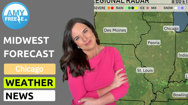
Exploring the Whims of Weather: Chicago’s Week in the Clouds
By
Amy Freeze
Meteorologist Amy Freeze navigates us through a week of diverse weather patterns across Chicago and the Midwest. From soothing sun to precursor rains, delve into what shapes our atmospheric conditions.
Stay ahead with Amy Freeze as she breaks down the weather from clouds rolling over Indianapolis to sunshine in St. Louis. Tune in for detailed forecasts!
As a flux of temperatures hit the Midwest, Amy Freeze provides expert analysis on what to expect. From light chills in Chicago to warming trends in Louisville, discover how atmospheric conditions will influence your week, along with safety tips for upcoming thunderstorms and high UV days.
Under the radar’s watchful eye, the Midwest is a mix of tranquility and activity this morning. A cluster of rain showers moves into Springfield, Missouri from the southwest. As we trek north, Fort Wayne and Detroit are soaking in a few scattered showers. The skies over Des Moines and St. Louis present a different picture with mostly clear conditions. Farther east, Cleveland enjoys periods of sunshine, while clouds drift over Indianapolis without posing much threat for rain.
Cloudy skies persist through the afternoon in Chicago with temperatures steady at 51 degrees. A light east-northeast wind at 9 miles per hour may offer a slight chill. By 6 PM, expect mostly cloudy conditions to continue, and temperatures remain consistent. As the evening approaches, partly cloudy skies will prevail with the temperature dropping slightly to 49 degrees.
This afternoon, the Midwest is experiencing a variety of temperatures. Chicago tops out at a cool 57 degrees, while further south, St. Louis reaches a comfortable 65. Indianapolis is warming up nicely with a high of 72 degrees, and we see even warmer temperatures in Louisville at 77. Bowling Green is leading the pack in Kentucky with a high of 79 degrees. Meanwhile, to the east, Columbus hits 75 degrees and Charleston stands out with a high of 82.
Des Moines will see a low of 41 degrees, while Kansas City cools down to 44. St. Louis is forecasted to drop to 47 degrees, with Peoria not far behind at 45. Notably, Indianapolis will hit 48, and Columbus will cool to 50 degrees, marking a significant drop for the area. Expect a brisk night ahead as the cold air settles in.
Tomorrow, the Midwest will see a mix of temperatures, with some areas experiencing above-average highs. Kansas City is expected to reach 66 degrees, while Des Moines will warm up to 65. Indianapolis has a forecasted high of 61 degrees, and Louisville will see temperatures hitting 62 degrees. Chicago remains cooler at 50 degrees, influenced by a lingering system.
An active weather pattern is setting up over the Midwest as a series of disturbances bring rain to areas from St. Louis to Indianapolis. Expect thunderstorms in Louisville, potentially bringing heavy downpours and localized flooding risks. By Friday morning, significant rain bands move through Columbus and Charleston, with some areas experiencing strong gusty winds. Temperatures will remain mild with highs in the 60s to 70s, providing a contrast to the cooler air behind the rain systems. Be prepared for potential flash flooding, especially in areas with saturated grounds.
The UV index in Chicago is set to be high with a level of 6 on Friday, presenting a burn time of 23 minutes in direct sunlight. By Saturday, this level will increase to 7, reducing burn time to approximately 20 minutes.