From Breezes to Showers: A Comprehensive Week Ahead in LA’s Weather
By
Amy Freeze
Dive into a detailed analysis of the week’s weather in Los Angeles, from cool mornings to potential showers, and learn how to prepare for each day.
This week in Los Angeles, expect everything from partly cloudy skies to clear sunshiny days as your meteorologist Amy Freeze guides you through each weather trend.
Los Angeles Tomorrow Morning News – 04/28/2025
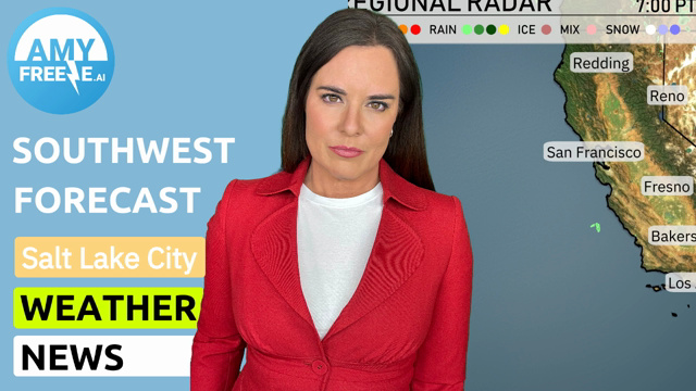
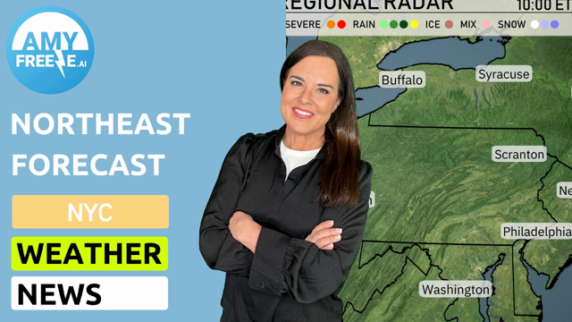
Meteorologist Amy Freeze here with your Southwest Forecast update. Expect a diverse week ranging from partly cloudy mornings to clear skies in Southern California. Los Angeles starts the week with pleasantly mild temperatures, so it’s perfect for morning activities. Don’t miss out on crucial safety tips for high UV index days. Dive into each day’s forecast with us!
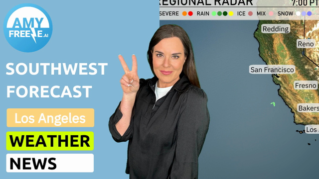
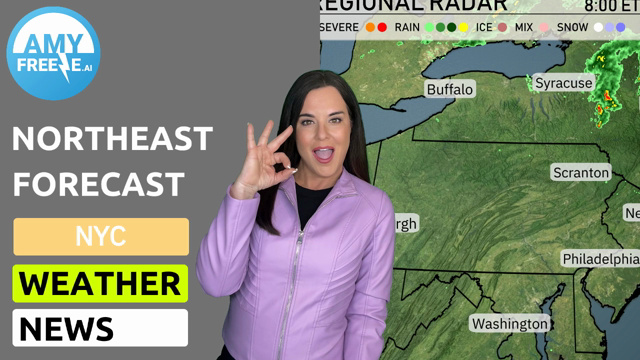
The radar highlights scattered showers and some strong storms developing around Ely. Snow is visible over the higher elevations near Cedar City, extending into northern Nevada. Salt Lake City is experiencing scattered rain showers. Clear conditions are predominant from Redding down to Los Angeles, with a dry spell across Las Vegas and Phoenix. San Diego and coastal areas are free from precipitation, keeping the skies clear for now.
Tomorrow morning in Los Angeles, temperatures start at 52 degrees at 7 a.m. with partly cloudy skies. By 9 a.m., the temperature rises to 54 degrees as a mix of sun and clouds continues. Expect the late morning to be slightly warmer with 60 degrees by 11 a.m., maintaining the partly cloudy conditions and calm winds throughout the morning.
High temperatures in the Southwest for tomorrow are poised to soar above average. In Phoenix, expect a warm high of 88 degrees, while Las Vegas is set to reach 83 degrees. Bakersfield and Fresno will see similar readings at 84 degrees and 83 degrees, respectively. Los Angeles will experience a milder day with a high of 72 degrees. Overall, a high-pressure system is contributing to these warm temperatures across the region, ensuring plenty of sunshine.
Expect clear skies and warm temperatures dominating the desert Southwest with highs in the 80s to low 90s. A cold front will bring unsettled weather to the coast, leading to rain showers in the San Francisco Bay Area by late afternoon and possibly heavy rain further north. The Southern California coast, particularly areas like Los Angeles and San Diego, should prepare for light to moderate showers by evening. Watch for isolated thunderstorms in parts of Arizona due to a slight uptick in moisture, which could lead to gusty winds and brief showers. The unsettled pattern settles down by Wednesday, allowing for cooler but drier conditions in the region.
The UV index in Los Angeles will be very high at 9 on both Monday and Tuesday, with a burn time of just 15 minutes in direct sunlight. It’s essential to take extra precautions, such as applying broad-spectrum sunscreen and wearing protective clothing. Plan your activities to minimize sun exposure during peak hours. Stay sun safe!
Monday: Enjoy a mostly clear day with a high of 66 degrees and a low of 55 degrees.
Tuesday: Expect mostly cloudy skies with temperatures peaking at 64 degrees and dipping to 55 at night.
Wednesday: Mostly cloudy and mild with highs reaching up to 65 degrees and lows around 55 degrees.
Thursday: The skies will be partly cloudy, with a high of 66 degrees and a low of 57 degrees.
Friday: Cooler temperatures, mostly cloudy, with a high of 62 degrees and a low near 53 degrees.
Saturday: Partly cloudy conditions continue, high of 63 degrees and a low of 51 degrees.
Sunday: Look for partly cloudy skies again, temperatures will peak at 62 degrees, cooling down to 52 degrees.
Hope you enjoy your week ahead!