Chasing Climates: Miami’s Mixed Bag Weather Forecast and Southeast Updates
By
Amy Freeze
From sun-kissed afternoons to impending storms, Meteorologist Amy Freeze guides you through the latest weather trends and what they mean for your week ahead in Miami and across the Southeast.
Meteorologist Amy Freeze breaks down the latest weather trends in Miami and the Southeast, offering insights into sun, storms, and safety tips.
Hello weather enthusiasts! This is Amy Freeze, bringing you the detailed forecast for Miami and the Southeast. Enjoy the warm, sunny afternoons but don’t get too comfy – storms are on the horizon. We’ll talk highs, lows, and everything in between. Stay informed and prepare for what Mother Nature has in store! For full details, visit: https://amyfreeze.ai/
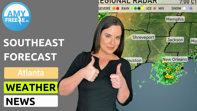
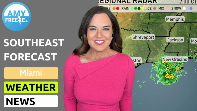
The Southeast is seeing a band of rain approaching from the west, with Birmingham and Montgomery set to experience showers shortly. Cloud cover is increasing in eastern Mississippi, with light precipitation moving towards Jackson. Heavy rain is impacting areas near Shreveport, while New Orleans is currently observing moderate rain. Cities such as Atlanta and Charlotte remain clear for now, but conditions could shift with these approaching systems. Meanwhile, the Florida Panhandle and the southeastern coast remain dry and mostly sunny.
Temperatures in Miami this afternoon will start at 80 degrees at 4 PM, gradually cooling to 76 degrees by 8 PM. Expect sunny skies throughout the afternoon, providing a perfect setting for outdoor activities. Winds will be gentle, coming from the east-northeast at 12 miles per hour, and shifting slightly to northeast at 11 miles per hour by evening. Clear skies will dominate as we move into the evening hours.
In the Southeast today, temperatures are on the rise with some warm readings around the region. Shreveport is expecting a high of 88 degrees, making it one of the warmest spots. Meanwhile, Jackson will see a high of 86, as warm air continues to dominate. New Orleans will be pleasant at 81 degrees, while Montgomery mirrors that with another 84. Over in Atlanta, the high will reach 79 degrees, keeping things mild but a bit cooler compared to other areas. Looking toward Florida, both Jacksonville and Miami are coming in at 81.
The Southeast is in for a mild night with lows generally above 60 degrees. Memphis will see a low of 68, while Nashville drops to a cooler 59. Jackson is expected to chill to about 68, and New Orleans is forecasted at 70. Montgomery will experience one of the cooler spots at 57 degrees. Savannah dips to 63.
High temperatures for tomorrow across the Southeast are notably warm, with several cities reaching above-average levels. Atlanta is expected to hit 86 degrees, while Montgomery and Jackson will both see highs of 88 degrees. New Orleans will reach 84 degrees, with Houston topping out at a steamy 88 degrees. Tampa is leading the pack with a sizzling high of 91 degrees. Miami and Savannah will remain cooler, but pleasant, at 81 degrees each.
A cold front accompanied by strong thunderstorms is advancing towards the Southeast, expected to reach Mississippi and Alabama by early morning. Anticipate heavy downpours and gusty winds, particularly affecting areas from Jackson to Montgomery. Severe weather risks, including potential flooding, will be heightened, necessitating weather vigilance across the day. Temperatures will drop considerably post-front passage, offering cool and clear conditions leading into the weekend. Thunderstorms will stretch from New Orleans to Savannah, impacting travel and outdoor plans in these regions.
The UV index in Miami will peak at an extreme level of 11 on both Thursday and Friday. This indicates a very high risk of harm from unprotected sun exposure, with potential burn times as short as 11 minutes.