Navigating Through Nature: Miami’s Mixed Weather Wonders This Week
By
Amy Freeze
Miami's unpredictable spring weather is here, and Amy Freeze guides you through the mix of sunny spells and severe storms expected this week. Get the forecast and tips on how to prepare.
Meteorologist Amy Freeze delivers the latest weather updates for Miami, from sunny skies to unexpected severe storms. Stay informed and prepared as we dive into a detailed weekly forecast.
Welcome to your Miami weather update with Amy Freeze! This week, Miami and the Southeast face a dynamic mix of weather conditions. We’ll experience partly cloudy skies, potential showers, and warnings for severe weather including thunderstorms. For those in Miami, expect temperatures to drop slightly in the afternoon with a high UV index tomorrow. Planning is key, and whether you’re in Miami or traveling through the Southeast, this detailed forecast will ensure you’re well prepared for anything the weather brings. Join us as we cover daily temperatures, storm developments, and safety tips.
The Southeast region is experiencing a mix of clear skies and developing weather conditions. Currently, stronger storms are making their way across northern Mississippi, and they’re poised to move into northern Alabama. This system is bringing rain and potentially some severe weather to the Tennessee River Valley, with Memphis already experiencing showers and the possibility of thunderstorms. Meanwhile, as the system moves eastward, areas like Atlanta should prepare for incoming precipitation.
Along the Gulf Coast, cities like New Orleans and Houston are enjoying clear conditions, while central portions of Mississippi and Alabama remain mostly quiet but with an increase in cloud cover. Farther east, rain is moving from the western parts of Georgia towards the Carolinas, with spots like Charlotte and Atlanta seeing an uptick in cloudiness ahead of these showers.
In northern Florida, Jacksonville is experiencing a lull in precipitation, with nearby coastal areas, including Savannah, enjoying mostly dry conditions for now. Keep an eye on the skies as a change in the weather is expected across these regions in the coming hours.
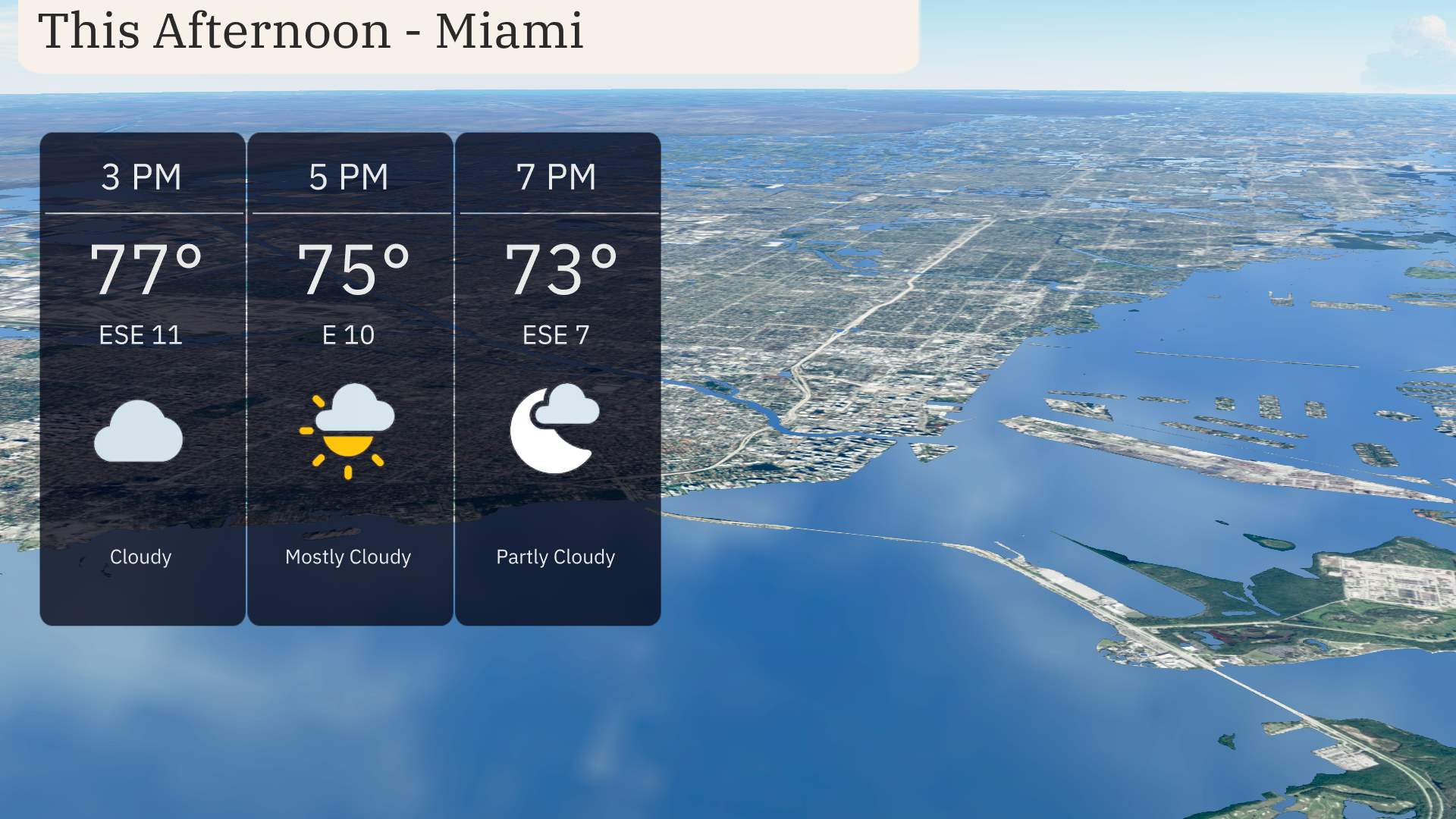
“Throughout the afternoon in Miami, temperatures are expected to gradually decrease from 77 degrees at 3 PM to 73 degrees by 7 PM. Winds will be coming from the east-southeast at speeds ranging from 10 to 11 miles per hour. The sky will transition from cloudy to partly cloudy as the afternoon progresses.”
Let’s take a look at today’s high temperatures across the Southeast.
In Shreveport, we’ll see a warm high of 85 degrees, while Houston isn’t far behind at 83. Moving east, Jackson warms up to 79 degrees. Over in New Orleans, it’ll be a comfortable 78 degrees.
Atlanta is enjoying a mild day with a high of 78 degrees, whereas Montgomery reaches 82. Down in Florida, Jacksonville is hitting 79 degrees, with both Tampa and Miami closely following at 81 and 77 degrees, respectively.
The Southeast is in for a cool night. Nashville is expected to drop to 47 degrees. Memphis will see a low of 51, while Shreveport cools down to 53 degrees. Atlanta will register 45 degrees, a notable drop for the region. Montgomery is forecast to hit 47 degrees. Expect a bit warmer night in New Orleans at 61 degrees, with Jackson at 52. Heading farther south, temperatures remain milder, reaching 60 degrees in Jacksonville and 65 in Tampa. Miami rounds out the evening with a low of 70 degrees.
High temperatures for tomorrow in the Southeast are looking quite warm. In Houston, we’ll see a high of 84 degrees, a few degrees above average for this time of year. New Orleans will enjoy a warm 74 degrees, while Jackson reaches 75, both depicting comfortable spring warmth.
Shreveport is expected to hit 81 degrees, further contributing to the warmth across the region. In the Florida panhandle, Tampa will warm up to 81 degrees, with Miami reaching a balmy 82 degrees. Atlanta is looking at a high of 68 degrees, which is slightly below average, and in Nashville, expect only 69 degrees.
“Rain showers over Shreveport and Jackson will stretch into the overnight hours, while a frontal passage triggers thunderstorms from Memphis to Atlanta and further down to Savannah. Some of these could be severe, with damaging winds as the main threat. As this cold front travels east, be ready for weather advisories. From Montgomery to Jacksonville, Wednesday morning could see spotty storms, with the potential for rain accumulation exceeding an inch in some areas, possibly leading to localized flooding. ”
“Today in Miami, the UV index is high at 6, with a burn time of 23 minutes under the sun. For tomorrow, it’s set to rise to a very high 9, with a quick burn potential in just 15 minutes. Ensure you’re well protected with sunscreen and seek shade during peak hours!”