Soaring Temperatures and Surprise Snow: This Week’s Weather Forecast for Phoenix
By
Amy Freeze
Explore a detailed analysis of this week's fluctuating weather conditions across Phoenix— from scorching highs to snowy mountain passes.
This week in Phoenix, expect a mix of clear skies and climbing temperatures, with an early preview of snow in higher regions. Dive into our full forecast!
As Amy Freeze guides you through this week’s weather updates, Phoenix prepares for varied conditions. From the usual sunny days to some unexpected snow in the high terrains and looming rain across nearby regions, each day brings something new. Get ready for warmth as the temperature hits triple digits later in the week, and don’t forget to look out for detailed advice on dealing with high UV indexes. Our comprehensive report has you covered.
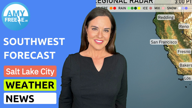
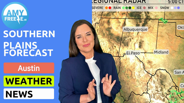
In the Southwest, a patch of rain is sweeping across Flagstaff, extending into areas surrounding Phoenix. Las Vegas is dry for now, while an impending wave of precipitation approaches from the east. Snow is visible over higher terrains, particularly near Ely, offering an icy mix from Cedar City to the Utah border. San Francisco and Los Angeles remain free from precipitation, enjoying clear conditions. Across central Nevada, clouds are gathering, hinting at incoming weather changes for Reno and Salt Lake City.
Partly cloudy skies will set the scene for tomorrow morning in Phoenix. Temperatures start at 65 degrees at 8 AM, rising to 67 degrees by 10 AM. Winds will be light, from the east-northeast initially, and shifting to easterly directions up to 6 mph by noon. The morning should remain calm with a pleasant atmosphere.
High temperatures in the Southwest for tomorrow are significantly above average, influenced by a warm air mass settling in. Phoenix will lead the pack with a scorching high of 95 degrees. Bakersfield follows closely at 93 degrees, while Fresno is expected to reach 92 degrees. Las Vegas also sees elevated highs at 89 degrees, and farther north, Redding hits 89 degrees as well. San Francisco remains milder at 67 degrees, contrasting with the warm pattern across the region.
A dry and warm weather pattern dominates the desert Southwest with abundant sunshine and temperatures climbing into the upper 80s. However, along the California coast, a storm system is pushing inland, bringing chances for rain from San Francisco to Los Angeles by Wednesday. The Sierra Nevada will see snow at higher elevations, making travel through mountain passes potentially challenging. Be prepared for wet roads and reduced visibility in these areas. As the system moves east, expect another round of showers over Nevada and parts of Arizona into Thursday.
In Phoenix, brace yourself for a high UV index of 10 both Wednesday and Thursday, with a burn time of about 12 minutes in direct sunlight.
For the 7 day forecast in Phoenix:
Wednesday: Clear skies with a high of 84 degrees and a nighttime low of 67 degrees.
Thursday: Another clear day, temperatures climbing to 95 degrees, with lows around 74 degrees.
Friday: Expect it to heat up significantly, a high soaring to 102 degrees, cooling to 79 degrees overnight.
Saturday: Mostly clear skies with temperatures reaching 104 degrees and a low of 81 degrees.
Sunday: Partly cloudy with a daytime high of 105 degrees, dropping to 77 degrees at night.
Monday: Partly cloudy conditions persist, with a high of 98 degrees and evening temperatures around 71 degrees.
Tuesday: More clouds ahead with a comfortable high of 89 degrees, falling to 67 degrees as the sun sets.
Stay cool and enjoy your week ahead!