Eclipsed Skies: Evening Bliss & Storm Alerts in Salt Lake City
By
Amy Freeze
Experience the delicate balance of serene sunsets and sudden storms sweeping through Salt Lake City and the broader Southwest. Get detailed insights into tonight's weather and the weekly outlook.
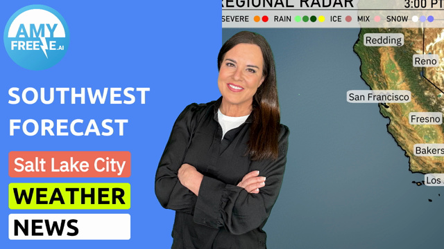
Salt Lake City offers a spectacle of weather patterns, from calm, picturesque evenings to potential storm threats. Learn what makes the city’s weather a topic of discussion and how to prepare for the week ahead.
This comprehensive analysis dives into the ever-changing climate of Salt Lake City and the Southwest region. From nightly drops in temperature to unexpected storm developments, our blog post provides a detailed 7-day weather forecast. Understand the nuances of regional weather with insights into temperature highs, storm predictions, and safety tips. Ideal for planning your week or simply staying informed, our post is your guide to navigating Salt Lake City’s dynamic weather landscape.
In the Southwest region, clear conditions dominate much of California, with San Francisco and Los Angeles enjoying dry skies. However, showers are sweeping through northern Nevada, particularly around Ely, bringing in some wet weather. More rain is affecting areas near Cedar City, Utah, with scattered showers. The weather remains dry and warm across southern areas including Las Vegas and Phoenix.
Temperatures in Salt Lake City this evening will gradually decrease from 80 degrees at 9 PM to 69 degrees by 1 AM. The evening starts off sunny, transitioning to partly cloudy skies around 11 PM. Expect a light north-northwest breeze at 10 miles per hour, calming to eastward by midnight.
Tonight, temperatures will take a notable dip across the Southwest. Flagstaff and Ely both drop to a chilly 44 degrees, while Las Vegas stays milder at 75 degrees. Bakersfield reaches a low of 70, and Los Angeles cools down to 60 degrees. San Francisco will see a low of 53 degrees, marking a cooler night along the coast.
Tomorrow, the Southwest will experience significantly warm temperatures. Phoenix is set to reach a scorching high of 103 degrees, making it well above the seasonal average. Las Vegas isn’t far behind, with an expected high of 101 degrees. In Southern California, Los Angeles will enjoy a comfortable 78 degrees, while further inland, Fresno and Bakersfield are both forecasting highs around 98 degrees. Despite these higher readings, San Francisco will remain cooler at just 63 degrees.
The southwest is expected to remain clear and sunny, particularly across the desert regions. However, a noticeable shift begins with a line of showers and isolated thunderstorms developing over Arizona by late tomorrow afternoon. As the day progresses, these storms may bring brief, heavy downpours and gusty winds, impacting areas from Phoenix to Tucson. By evening, look for scattered storm activity to increase along the New Mexico border, potentially affecting travel on 40. Temperatures across the region will experience a slight dip behind the storms, but a return to sunshine is expected by Thursday.
In Salt Lake City, expect the UV index to be very high on Tuesday and Wednesday, with levels reaching 9 both days. This indicates a burn time of about 15 minutes in direct sunlight.
For the 7 day forecast in Salt Lake City:
Tuesday: Partly cloudy skies with a high of 81 degrees and a low of 57 degrees.
Wednesday: Clear and sunny with temperatures reaching up to 84 degrees, cooling down to 61 at night.
Thursday: Expect partly cloudy conditions with a warm high of 92 degrees and a low of 66 degrees.
Friday: Mostly clear with a high climbing to 94 degrees and a nighttime low of 67 degrees.
Saturday: Enjoy clear skies with temperatures peaking at 92 degrees and dipping to 65 degrees.
Sunday: Clear conditions continue, with a high of 94 degrees and a low of 65 degrees.
Monday: Mostly clear with a warm high of 97 degrees and a low of 67 degrees.