Salt Lake City Weather Watch: A Dynamic Week Ahead!
By
Amy Freeze
Dive into your regional weather breakdown with Amy Freeze, detailing the latest changes and what’s expected in the next 7 days across Salt Lake City and the broader Southwest region.
Get the latest on Salt Lake City’s weather from Meteorologist Amy Freeze. From part cloudy days to rising temperatures, know everything about the weather affecting your area!
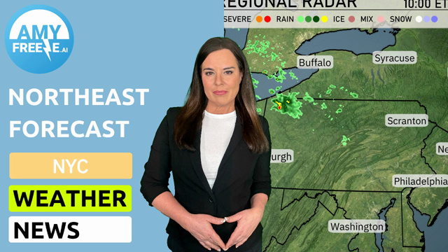
Welcome to your weather update with Meteorologist Amy Freeze. Today’s focus is on Salt Lake City and its surroundings, observing partly cloudy skies with a mild afternoon and highlighting weather trends across the Southwest. Expect shifts from light snow flurries in higher elevations to clear, sunny skies in Las Vegas and Phoenix. Don’t miss out on our essential daily insights and a complete 7-day forecast!
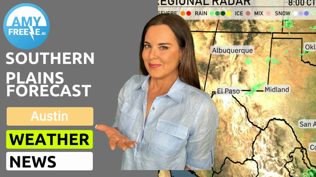
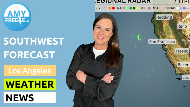
Across the Southwest region, our radar highlights a few areas of interest. Light rain showers are just off the coast of Northern California near Redding, offering some relief to the area. Reno is seeing a mix of precipitation, indicating changing weather conditions and possibly some slick surfaces. In Ely, expect cold conditions with a possibility of snowflakes in higher elevations.
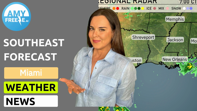
Farther south, the radar indicates a generally clear sky over Bakersfield and Fresno, which bodes well for outdoor activities. Meanwhile, San Francisco and Los Angeles are enjoying relatively dry conditions, with no significant weather disturbances expected. However, as we move into the desert regions, including Las Vegas and Phoenix, conditions remain dry and stable, indicative of clear skies and continued dry weather.
Flagstaff is experiencing colder temperatures, which might lead to light snow in the surrounding higher elevations as the day progresses. San Diego is maintaining its reputation for mild and pleasant weather, staying clear from the approaching systems affecting farther north.
Salt Lake City temperatures through the afternoon reach a warm peak of 81 degrees by 6 PM, starting at 79 degrees at 4 PM. Expect a gentle wind from the southwest, varying from 13 to 12 miles per hour. There’s a mix of sun and clouds creating a partly cloudy sky. By 8 PM, temperatures slightly decrease to 79 degrees, and winds calm further to 9 miles per hour, maintaining the partly cloudy conditions.
Good afternoon! Let’s take a look at today’s high temperatures across the Southwest region.
In Arizona, Phoenix is sizzling with a high of 100 degrees, making it one of the warmest spots today. Meanwhile, nearby Flagstaff is enjoying a relatively cooler 77 degrees. Over in Nevada, Las Vegas is heating up to 97 degrees, while Ely is much milder at 77.
In California, San Diego sees a comfortable high of 81 degrees, while Los Angeles hits 79. To the north, Fresno experiences a warm day with temperatures reaching 84 degrees.
Ely will dip to 34 degrees, while Salt Lake City doesn’t fare much better at 43 degrees. Las Vegas is expected to see a low of 63 degrees, and further south, Phoenix will remain relatively warm at 68 degrees. In the higher elevation areas, Flagstaff and Cedar City will both hit 41 degrees. Meanwhile, Los Angeles will cool down to 50 degrees, offering a slight chill.
High temperatures for tomorrow across the Southwest region are expected to soar, indicating a warm day ahead.
In California, Los Angeles will reach a high of 72 degrees, while Bakersfield is set for 82 degrees. Fresno will see slightly warmer conditions with a high of 81 degrees. Moving farther north, San Francisco will be more mild at 64 degrees.
In Nevada, Las Vegas is poised for a notable high of 91 degrees, significantly above average for this time of year. Ely, also in Nevada, will experience highs around 72 degrees.
Heading east to Arizona, Phoenix is forecasted to hit a scorching 100 degrees, illustrating a significant leap above seasonal averages.
On the Southwest futurecast for tomorrow, expect a notable shift across the region. A band of moisture from the Pacific will impact areas from Central California down to the San Bernardino Valley, with scattered showers and isolated heavier rain expected throughout the day. Be cautious of the potential for tricky driving conditions due to slick roads, especially over mountain passes.
Farther east in the desert southwest, clear and sunny skies will dominate, providing some relief from the wet conditions along the coast. However, temperatures are set to remain stable, supporting a comfortable day ahead.
The UV index in Salt Lake City is expected to be 6 on Friday and Saturday, indicating moderately strong sun exposure. With burn times of about 23 minutes, make sure to apply sunscreen and wear protective clothing if you’ll be outdoors for extended periods.