Weather on the Move: Tracking Austin and Southern Plains’ Unpredictable Skies
By
Amy Freeze
Explore the nuanced weather patterns across Austin and the Southern Plains, from sunny highs to stormy evenings. Stay informed and prepared with our forecast!
Catch up on the latest weather trends in Austin and across the Southern Plains. From sunny skies to storm warnings, we cover all you need to know for a safe week ahead.
This week in Austin and the Southern Plains, weather patterns are showing a variety of changes from clear skies to thunderstorms. With a high UV index, it’s essential to stay protected from the sun. Remarkable shifts in temperature are expected as a cold front approaches, likely bringing severe weather with it. Get detailed updates on daily temperatures, weather warnings, and safety tips in our comprehensive forecast analysis.
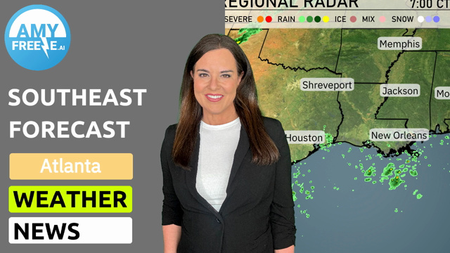
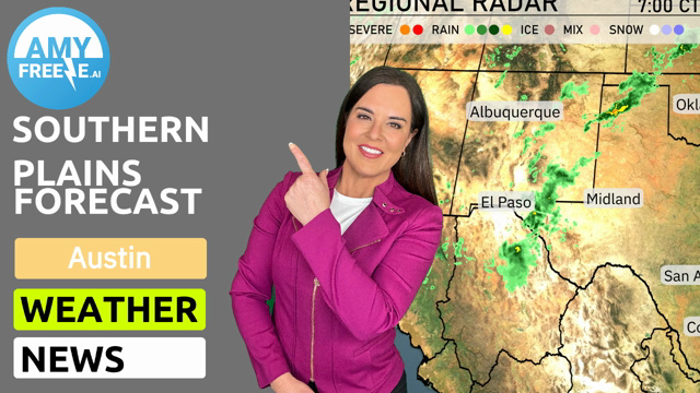
A few scattered showers are present around El Paso, stretching into the Midland area in Texas. New Orleans and the surrounding areas along the Gulf Coast are seeing some light precipitation, but it’s not widespread. The rest of the Southern Plains, including cities such as Oklahoma City, Dallas, and Kansas City, remain predominantly dry and clear. Keep an eye on the southern Colorado border where light showers might bring some needed rain.
For this evening in Austin, anticipate a partly cloudy sky with temperatures starting at 89 degrees at 9 PM, cooling down to 81 degrees by 1 AM. Winds will be from the southeast, easing from 9 to 6 miles per hour late into the night. As the clouds partly clear out, expect a comfortable night ahead under mostly clear skies.
Tonight in the Southern Plains, temperatures will dip with Amarillo expecting a low of 60 degrees. Oklahoma City will see a cooler 64 degrees, and Dallas is forecasted at 66. In San Antonio, it will be a mild 74 degrees, while Corpus Christi remains warm at 77.
Tomorrow in the Southern Plains, expect a warm day with Midland hitting a high of 94 degrees. San Antonio will reach 93 degrees, while El Paso sees a pleasant 81. Little Rock is set to sizzle with an impressive high of 95 degrees. Dallas is forecasted to be a bit cooler at 89 degrees, and New Orleans will warm up to 91 degrees. These temperatures are generally above average for this time of year, driven by high-pressure systems promoting warmer air across the region.
Keep an eye on the Southern Plains as a significant cold front advances through the region. Expect thunderstorms from Oklahoma City down to Dallas, with potential severe thunderstorm activity. Heavy rain and gusty winds are likely, especially in the east Texas and central Oklahoma areas. Corpus Christi and San Antonio will experience beneficial rain showers, aiding drought conditions. Anticipate unstable weather patterns persisting into Wednesday, with heightened severe weather risks across eastern Texas and western Louisiana.
The UV index in Austin today is extremely high at 11, with a burn time of just 11 minutes under direct sunlight. Tuesday will be similarly intense, with a UV index of 10 and a burn time of 12 minutes.
For the 7-day forecast in Austin:
Monday: A high of 94 degrees with partly cloudy skies, and a pleasant low of 73 degrees.
Tuesday: Slightly cooler at 92 degrees with clouds lingering, lows around 72 degrees.
Wednesday: Continuing the trend with partly cloudy conditions and a high of 96 degrees, dipping to 73 degrees at night.
Thursday: Expect another warm day with highs reaching 93 degrees, cooling down to 73 degrees overnight.
Friday: The heat rises to 96 degrees under partly cloudy skies, before it cools to 74 degrees.
Saturday: Warming up even more to 97 degrees, while the night brings a mild 75 degrees.
Sunday: Closing out the week with 95 degrees during the day, and nighttime temperatures down to 75 degrees under partly cloudy skies.