Salt Lake City Weather Watch: Clear Skies & Sudden Shifts
By
Amy Freeze
Explore the latest weather trends across the Southwest with Meteorologist Amy Freeze, featuring a detailed breakdown of temperature variations and storm updates for the week of April 14, 2025.
Meteorologist Amy Freeze brings you the latest weather updates for Salt Lake City and the Southwest. Sunny starts and stormy nights—learn what to expect and how to prepare for the weather changes this week!
Amy Freeze here with an extensive weather forecast for Salt Lake City and beyond. Kick off your day with clear skies on 04/14/2025 and brace for unpredictable changes by evening as frontal systems bring showers and cooler temperatures. Stay tuned as I provide day-to-day updates, crucial weather advisories, and safety tips. Don’t miss any updates on temperatures, UV index, and the wider Southwest region’s weather shifts.
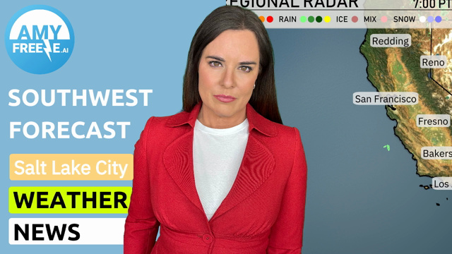
The Regional Radar shows a mix of weather conditions across the Southwest. Las Vegas and Redding are currently experiencing clear skies, providing a calm interlude amidst the broader activity. Rain showers are advancing inland from the Pacific, affecting central California, including San Francisco and Fresno, with Bakersfield also seeing some rain activity. Farther east, Cedar City has cloud cover increasing, and Ely may expect light snow as temperatures dip.
Salt Lake City starts the morning at 45 degrees with clear skies and a light east-southeast wind blowing at 7 mph at 8 AM. By 10 AM, the temperature rises to 48 degrees under mostly sunny conditions, with a southeast wind at 6 mph. As we approach noon, expect temperatures to reach 57 degrees with partly cloudy skies and a light southeast breeze.
Tomorrow in the Southwest, we’re looking at above-average temperatures across the board. Phoenix will soar to a sizzling 93 degrees, while Las Vegas follows closely with a high of 88. In California, Bakersfield will hit 84 degrees, and Fresno will also see a warm 82. Coastal areas remain cooler, with San Diego reaching 64 and Los Angeles at 63.
Expect a dynamic weather day across the Southwest tomorrow as a frontal system brings significant weather changes. Late evening, a strong front will sweep across Southern California bringing scattered showers and possible thunderstorms. Northern Arizona and New Mexico will see mostly dry conditions with temperatures trending cooler. Central Nevada braces for gusty winds associated with the front, potentially impacting travel through passes. As the system advances, stay alert to rapid temperature drops and shifting winds through the region.
For Salt Lake City, today’s UV index is high at 7, meaning a burn time of 20 minutes, so make sure to apply sunscreen and seek shade during peak hours. Tomorrow, the UV index is expected to be moderate at 6, with a burn time of 23 minutes.
Monday: Clear skies today with a high of 72 degrees and a low of 49 degrees.
Tuesday: Partly cloudy with temperatures reaching a high of 71 degrees and cooling to 48 overnight.
Wednesday: Expect showers late in the day, with a high of 53 degrees and a low of 37 degrees.
Thursday: Rain and snow showers will appear late, with a high around 52 degrees and a low of 35.
Friday: Partly cloudy conditions with a high temperature of 58 degrees, dropping to 42 in the evening.
Saturday: Mostly clear with a high of 66 degrees and a low of 45 degrees.
Sunday: Showers expected late, with a daytime high of 63 degrees and a nighttime low of 45.
Stay safe and enjoy the week ahead!