From Flurry to Sunshine: Navigating Spring’s First Weekend in the Midwest with Amy Freeze
By
Amy Freeze
Explore the dynamic weather patterns of the Midwest's first spring weekend. Meteorologist Amy Freeze provides an in-depth look at the changing temperatures and upcoming storms across the region.
Meteorologist Amy Freeze explores the Midwest’s first weekend of spring weather with an informative look at conditions from Michigan snow to Chicago’s clear skies. Stay updated and prepared with Amy’s expert insights!
Join Meteorologist Amy Freeze as she breaks down this weekend’s weather across the Midwest. With a mix of snow, rain, and sunny conditions, Amy offers expert insight into what these changes mean for each area. From heavy snow in Michigan reaching to areas like Saginaw and Detroit, to the sunny, tranquil day in regions like Chicago and Louisville, get detailed predictions and advice on how to navigate this varied climate. Don’t miss out on the upcoming weather changes expected in the next days, including potential severe thunderstorms and suggestions for keeping safe and making the most of the weather. Complete with a detailed seven-day forecast for Chicago, Amy helps you plan ahead and stay informed.
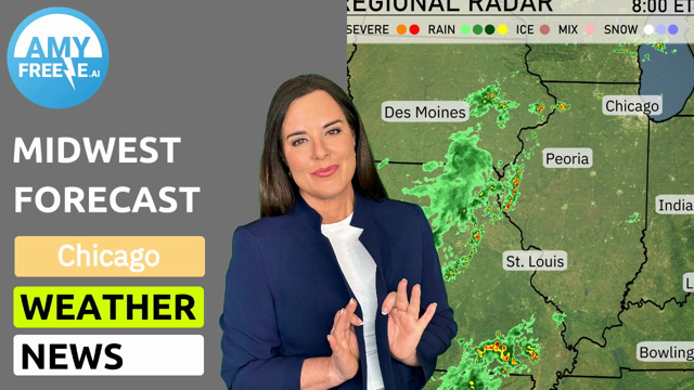
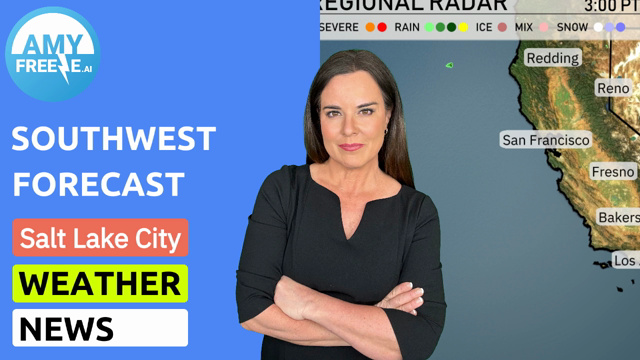
The Midwest region is experiencing varied weather conditions this first weekend of Spring. Snow is extending through Michigan’s Upper Peninsula, reaching as far south as Saginaw. This snowfall is also ongoing around the Detroit area. To the south, as we move into Ohio, the showers transition to rain impacting Cleveland and Columbus.
Farther to the west, states like Illinois and Indiana, including cities such as Chicago, Peoria, and Indianapolis, are dry. The sky remains clear as we move through Louisville to Springfield, contributing to a tranquil weather day in these parts. From Bowling Green to Charleston no significant precipitation is expected.
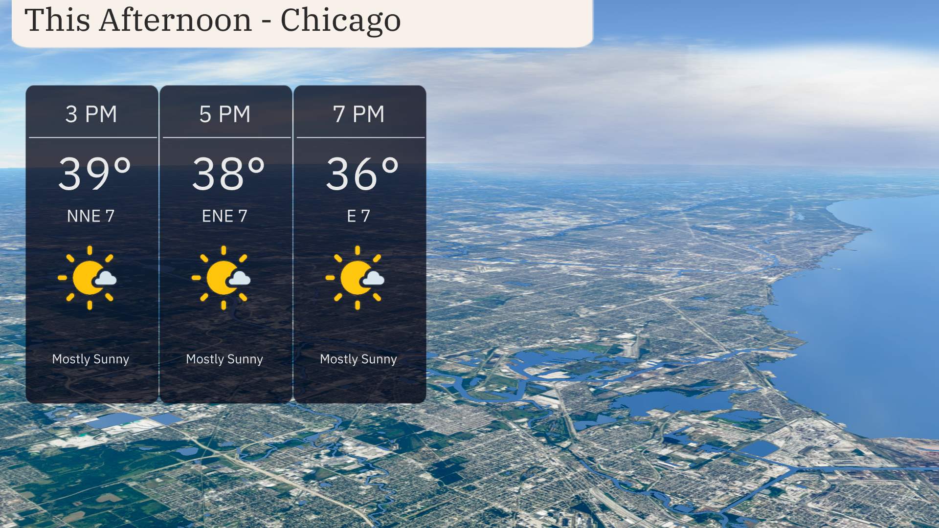
This afternoon in Chicago, expect mostly sunny skies with temperatures lingering in the upper 30s. As the day progresses, temperatures will hover around 39 degrees at 3 PM, dropping to 38 degrees by 5 PM, and further cooling to 36 degrees by 7 PM. Winds will blow gently from the northeast, shifting to an easterly direction later, maintaining speeds between 7 miles per hour.
Let’s take a look at today’s high temperatures across the Midwest. Chicago is aiming for a high of 47. Fort Wayne is similar. Indianapolis will reach 52 degrees. On the warmer side, Springfield is leading the pack with a high of 70 degrees, while Louisville enjoys a comfortable 59. It’s a day of contrasts across the region, with warmer temps in the southern areas and notably cooler readings in the north.
In Kansas City, we’re feeling pleasant with a high of 68 degrees. Heading east, St. Louis is a bit cooler at 62 degrees, while Peoria checks in at 51 degrees.
Now for the low temperatures across the Midwest. Expect a cold night in the region, with Des Moines dipping down to 33 degrees. Chicago will also be quite chilly by morning, with a low of 34. Indianapolis is forecasted to start tomorrow at 38 degrees, while Peoria and Fort Wayne will be slightly cooler at 35 and 34, respectively. Kansas City will see a low of 39 degrees, while St. Louis is expected to cool down to 40. Expect even colder temperatures in Springfield at 38 degrees, with Louisville reaching 41.
Tomorrow in the Midwest, we’re seeing a range of high temperatures. In the northern part of the region, temperatures will be a bit cooler, with Chicago climbing to 48 degrees and Fort Wayne just reaching 46 degrees. Ss warmer air moves in. In St. Louis, expect a warm high of 67 degrees, while Kansas City will see a pleasant 63 degrees. Farther east, Peoria is looking at a high of 56, and Indianapolis will reach 51 degrees.
Notably, many areas are experiencing near-average temperatures for this time of year, with the warmer conditions likely influenced by a shift in prevailing winds and high-pressure settling in.
“A cold front moves through the Midwest late tomorrow, bringing significant weather changes. Expect a chance of rain starting early in the morning across Kansas City and spreading northeast, reaching Chicago and Detroit by afternoon. This system carries the potential for severe thunderstorms, especially in Missouri, Indiana and Ohio, with heavy rain and gusty winds posing risks of localized flooding. Stay weather alert as conditions evolve over the next 24 to 48 hours.”
The UV index in Chicago will be moderate at 4 on Saturday, indicating a burn time of about 35 minutes in direct sunlight. On Sunday, the UV index drops to a low of 2, significantly reducing the risk of sunburn due to cloud cover and potential rain. Enjoy the great outdoors, but keep an eye on the weather!