From Sunshine to Showers: Navigating LA’s Spring Weather Swings
By
Amy Freeze
This week in Los Angeles, weather patterns take us on a scenic journey from clear skies and warmth to impending showers and gusty winds. Join Meteorologist Amy Freeze as she unpacks the daily shifts and what they mean for your plans.
Clear skies and sunshine dominate today in LA, but as Meteorologist Amy Freeze reports, be prepared for a change. This week brings a mix of weather, from warm sunshine to cooler, stormy days ahead.
Los Angeles’s weather is showcasing its dynamic range this week. Today’s pleasant weather with clear skies sets a cheerful tone, but Meteorologist Amy Freeze anticipates a turn as we approach the weekend. Watch for showers and possibly even some thunderstorms as a new system rolls into the Southwest. Stay tuned to our daily updates to get the most accurate and timely weather forecasts, ensuring you’re always prepared.
The West Coast is largely enjoying clear skies, but a few isolated rain showers are creeping along the shoreline near San Francisco and San Diego. The Central Valley between Fresno and Bakersfield remains dry.
In the higher elevations of northern California, snowflakes are gently descending around Redding, signaling a chilly start. Farther south, Flagstaff stands to receive light snow, bringing a wintry chill to northern Arizona.
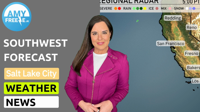
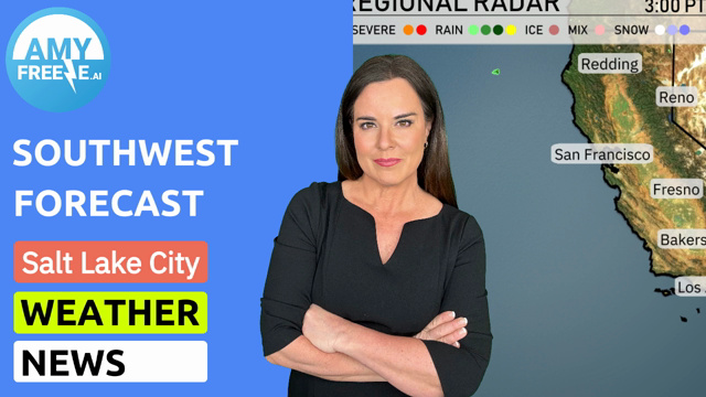
The desert corridor, including Las Vegas and Phoenix, will enjoy calm and dry conditions, with no sign of rain clouds. Los Angeles and San Diego maintain a mild outlook, with just a few clouds overhead. In northern Nevada, snow is falling around Eee-lie, with clouds extending into southern Idaho. This weather system is spilling into Utah, with Cedar City experiencing some snow showers. Meanwhile, Salt Lake City is under cloud cover.
In Los Angeles this afternoon, temperatures gradually decrease from 64 degrees at 3 PM to 61 degrees by 7 PM. Expect mostly cloudy skies transitioning to full clouds as the evening nears. Winds will come from the south-southwest at about 9 miles per hour, providing a gentle breeze throughout the afternoon.
Let’s take a look at the high temperatures shaping up in the Southwest today. In Las Vegas, we’re seeing a warm day with a high of 76 degrees, while just a bit farther east, Phoenix sizzles at a scorching 82 degrees. Flagstaff stays cooler at 56, showcasing a notable temperature contrast across the region. San Diego enjoys a mild 63.
Flagstaff expects a low of 33. Las Vegas stays milder at 55 degrees, while Cedar City sees a low of 39. In California, San Francisco will cool down to 53 degrees, with Fresno and Bakersfield both resting at 54 degrees. Expect a comfortable 56 in San Diego.
San Diego expects a pleasant 65 degrees tomorrow . Bakersfield warms up to 72 degrees.
High temperatures for the Southwest region have Las Vegas expected to reach a warm 78 degrees.. Phoenix will be even hotter, hitting a high of 83 degrees, indicative of a warm trend across the region.
Fresno will experience a comfortable high of 67 degrees. Cedar City, Utah, remains slightly above that at 57 degrees.
“On the Southwest futurecast for Sunday, anticipate a developing weather system moving into Arizona and New Mexico. By late afternoon, rain showers are expected to intensify across much of Arizona, particularly impacting the Phoenix metro area. Prepare for slick roads and reduced visibility. Meanwhile, northern parts of the region, including Las Vegas and into the higher elevations, may see isolated thunderstorms with gusty winds. Temperatures will remain mild but a dip is likely by Monday as the system moves farther east. B .”
Los Angeles will experience a high UV index of 7 today, with a burn time of about 20 minutes under the sun’s strong rays. It’s a good idea to wear sunscreen and protective clothing if you’re heading outdoors. Sunday sees a decrease in the UV index to 5, with a burn time of 27 minutes.