From Frost to Fire: Exploring America’s Extreme Weather Patterns
By
Amy Freeze
As America grapples with a dynamic range of weather conditions, from biting Arctic chills to scorching desert highs, we analyze how and why our climate is fluctuating more dramatically.
Experience a stunning range of weather today across the U.S., from frost advisories in the Midwest to severe thunderstorms and blistering heat waves. What’s behind these extreme patterns? Find out more on our blog!
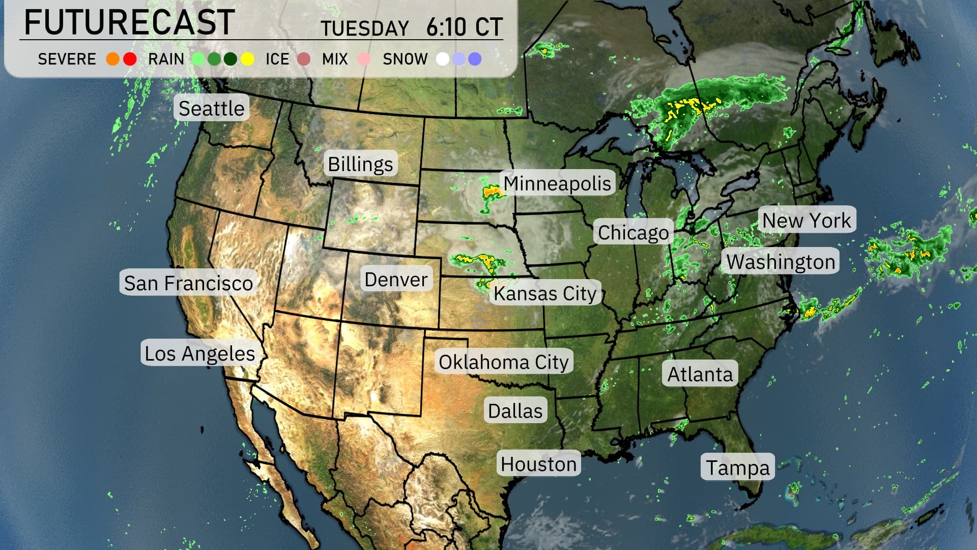
Today’s weather across America paints a picture of extreme contrasts and serves as a reminder of our ever-changing climate. An Arctic blast is significantly dropping temperatures across the Midwest, necessitating frost advisories. In contrast, the Southwest is feeling the burn with temperatures soaring to 114 degrees in Phoenix. As thunderstorms potentially usher in floods from Oklahoma City to Kansas City, clear skies over the Pacific Northwest suggest a benign weather day. Dive deeper into these patterns and their implications for our daily lives and environmental future in our latest blog post.
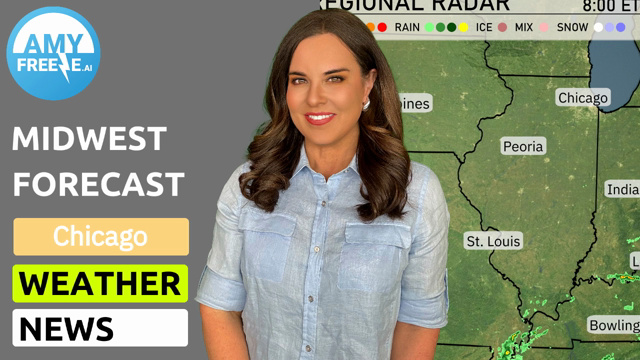
Across the United States, a line of rain and thunderstorms stretches from Oklahoma City northeastward through Kansas City. This system is gaining strength and could bring heavy rainfall, raising concerns of potential flooding. Farther south, Houston is witnessing storm activity that could lead to travel interruptions. The Upper Midwest, including Minneapolis, is experiencing scattered rain, while Chicago braces for heavier rain towards the evening. The Pacific Northwest, from Seattle to San Francisco, enjoys clear conditions, and Denver is observing a calm and dry day.
Today’s high temperatures across the nation reveal some striking contrasts. In the Southwest, a blistering Phoenix reaches 114 degrees, while Los Angeles remains much cooler at 74. Heading to Texas, Dallas is warm at 93 degrees, and Houston not far behind at 86. Meanwhile, the Northeast stays mild, with New York at 65 and Washington, D.C. warming to 70.
Now for the low temperatures tomorrow morning across the U.S. The Midwest will feel the chill with Minneapolis dipping to 50 degrees and Chicago at 68. Heading to the Southeast, Atlanta will start the day at a mild 72 degrees, while farther south, Miami remains warm at 76. Out West, Seattle wakes up to a cool 50 degrees, and Los Angeles stays mild at 61 degrees.
Tomorrow, the region is set to bake under high temperatures that are well above average for mid-June. Houston will see a high of 88 degrees, while Dallas is expected to hit a sizzling 95 degrees. In the Southeast, Atlanta will enjoy a warm 88 degrees and Tampa will be close behind at 92 degrees, contributing to the overall warm trend. Clear skies and high pressure will dominate, allowing these elevated temperatures to unfold across the area.
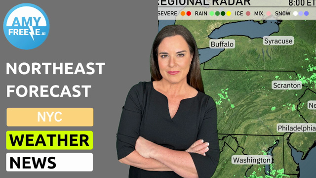
The Midwest sees an approaching cold front bringing a band of strong thunderstorms from Oklahoma City to Chicago over the next 48 hours, with a risk of gusty winds and hail. In the Southeast, from Houston to Atlanta, prepare for scattered severe thunderstorms with potential localized flooding. The Pacific Northwest, particularly Seattle, will continue experiencing rain showers, while Southern California enjoys dry conditions. The Rockies could witness light snow over higher elevations like Denver, while the East Coast, including Washington to New York, contends with steady rain impacting travel.